Only the name remains for us
Artistic exploration of the memory of the place which was resulted in creation of an alternative map of the district highlighting the most important places basing on memories of local people.
Shchukino district, Moscow, Russia, 2018
Every place holds its own memory, and understanding it helps us feel connected to that place and discover something new about it.
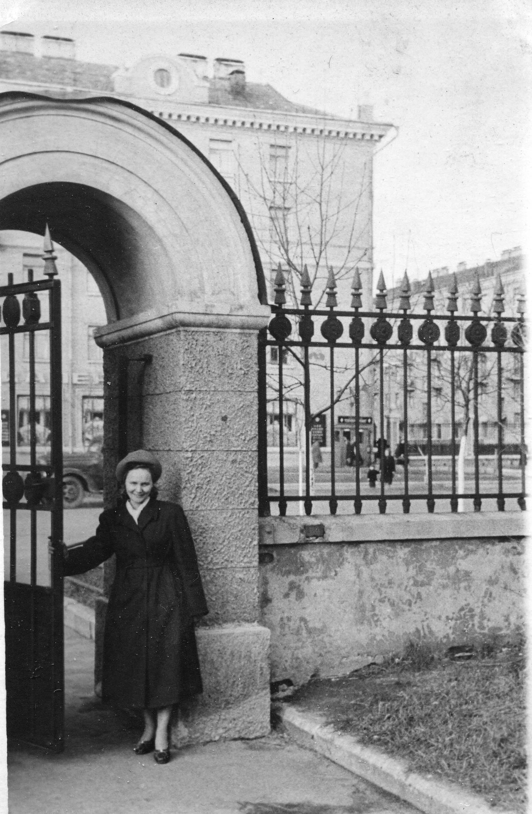
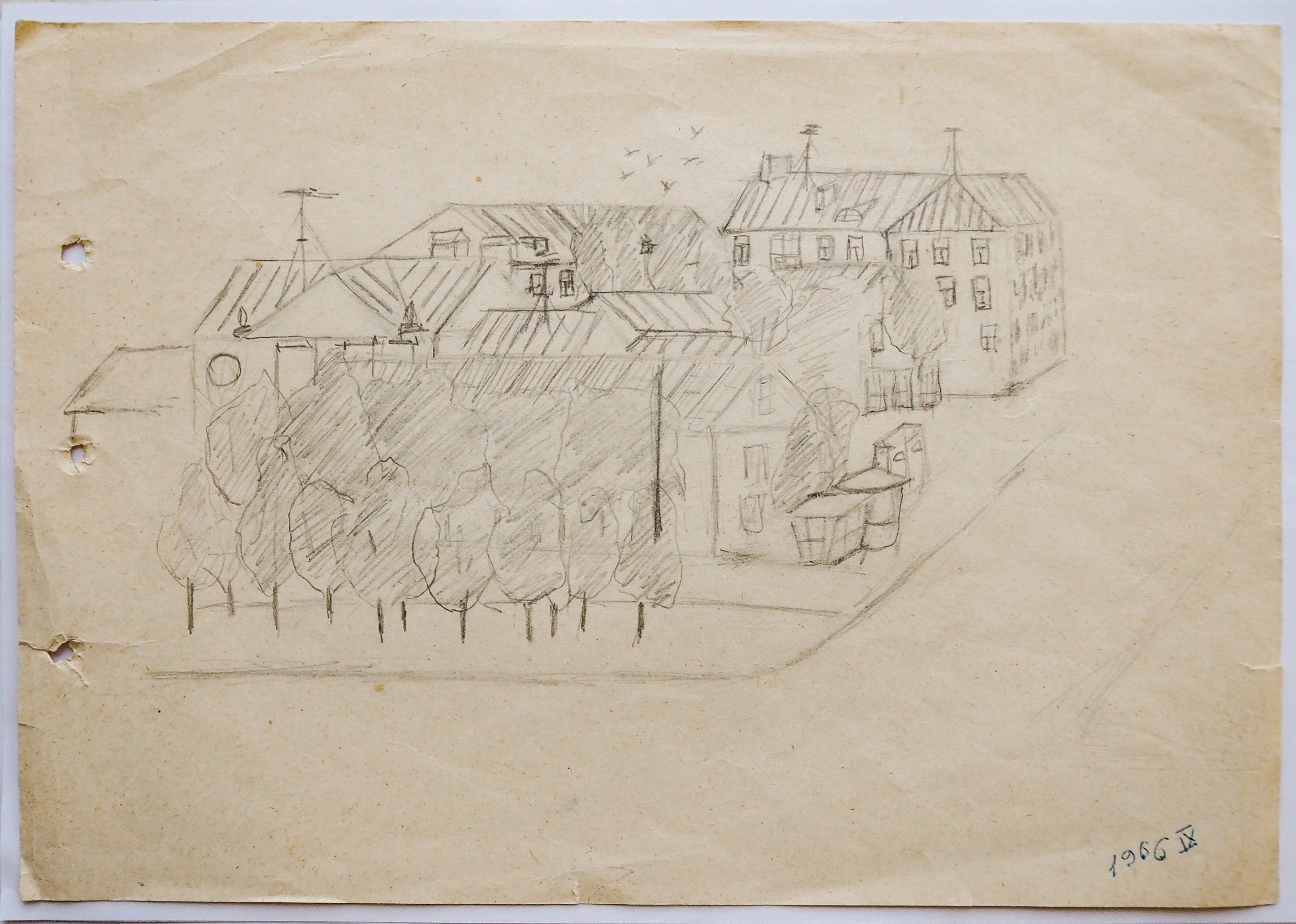
Me and my colleague, visual artist Victoria Demidova, have explored the Shchukino district using various methods: drifting, interviewing residents, studying old photographs, making new photographs, meeting historians, analyzing toponymic, searching for landmarks and legends of a place.
We’ve uncovered many interesting and pride-worthy aspects of Shchukino. As a result we composed an alternative map of the district, created a series of photographs, collected unknown archival photos from the family archives of residents, and developed engaging, interactive walking tours.
The project was supported by the Museum of Moscow and the Laboratory of urban explorations.
The same methodology was used to explore two more districts of Moscow: Danilovskiy and Sukharevka.
The “landmarks” of the district
They were fixed basing on the:
10 individual interviews with residents
meeting in the local library with 20 residents
district history exploration
Shchukino is the district of the soviet atomic project. The first reactor and the first bombs were created here. Medicine here has a focus on the consequences of the radiation exposure. After Chernobyl catastrophe the first liquidators were transported to the local clinic.
Military officer are located here from the end of XIX century. In the soviet times the number of military officers increased. Additionally, the diplomatic academy was founded.
The district has a unique architecture. Most of the apartment buildings were constructed in the 1940s for the scientists-participants of the soviet atomic project. They were designed to be cosy and beautiful place to live. Thus they are nicely looking and have well organized inner yards.
Psychogeographic map of the disctrict
it was created as a result of:
10 individual interviews with residents
meeting in the local library with 20 residents
drifting along the district
toponimic analisys
The dark areas on the map are the territories of the classified enterprises - the members of the Soviet Atomic project. The access there is restricted.
Dots means the quantity of mentioning of these enterprises during the interviews and meetings.
Altogether it means that most of the residents have a strong connection with these classified enterprises. They work there by themselves or their close ones work there.
The names put on the map were taken from the interviews. That’s how the residents informally call these significant places in the district.
Neverending fence as a visual description of the district character:


